Numerous AIS tracking networks broadcast over the internet are available. Among the best known : Marine Traffic, Vessel Finder, SiiTech, LocateEverything, and many others. One of these networks particularly stands out, AIS Hub, an AIS data sharing center in NMEA format, that provides developers with an API for integration of its network into applications, and therefore display of AIS targets received via the Internet directly in the application. Featured from the origin in the functions of Weather4D Routing & Navigation, this system has made it possible to envisage new and particularly innovative services.
Public sharing of AIS data
The two leaders of weather, routing and navigation apps, SailGrib Android and Weather4Dusers with iOS, have partnered to provide this service to boaters using mobile devices. Thanks to a new server built as an AISHub network station, Users of the two applications can transmit by an internet connection, not only their own location, but also those of all the received targets surrounding them, thus multiplying the number of targets in public broadcast by the AISHub network. In addition, this sharing can be achieved in direct satellite connection with an Iridium GO! while GRIB file request in the open sea (¹).

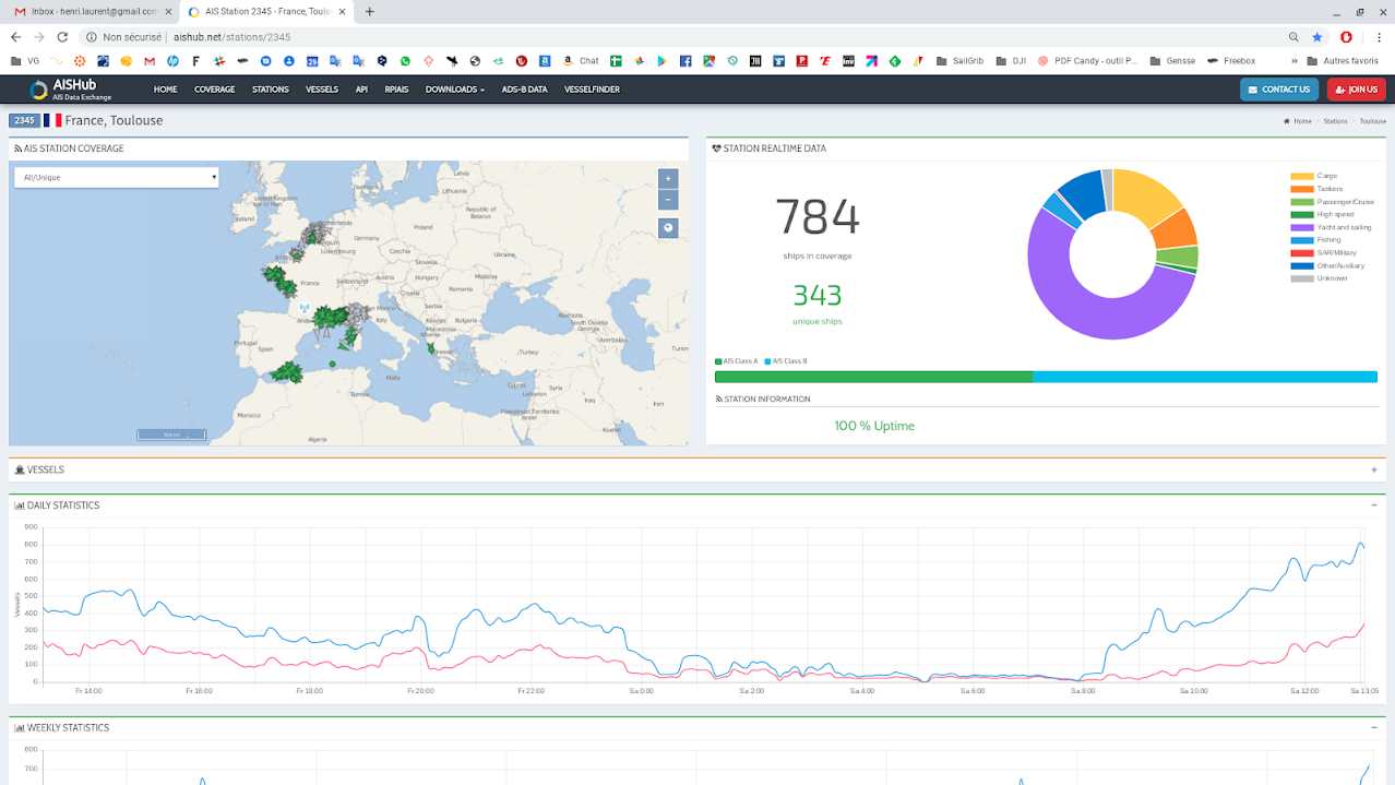
The Aishub service station 2345, Administered by APP4NAV, can broadcast all AIS targets received by SailGrib and Weather4D users
This way, wherever users are located, If they leave their AIS receptors and the AIS sharing activated in their application, even in the harbour or anchorage, AIS targets they receive will be broadcast over the network, contributing to improve coverage of regions lacking land-based station.

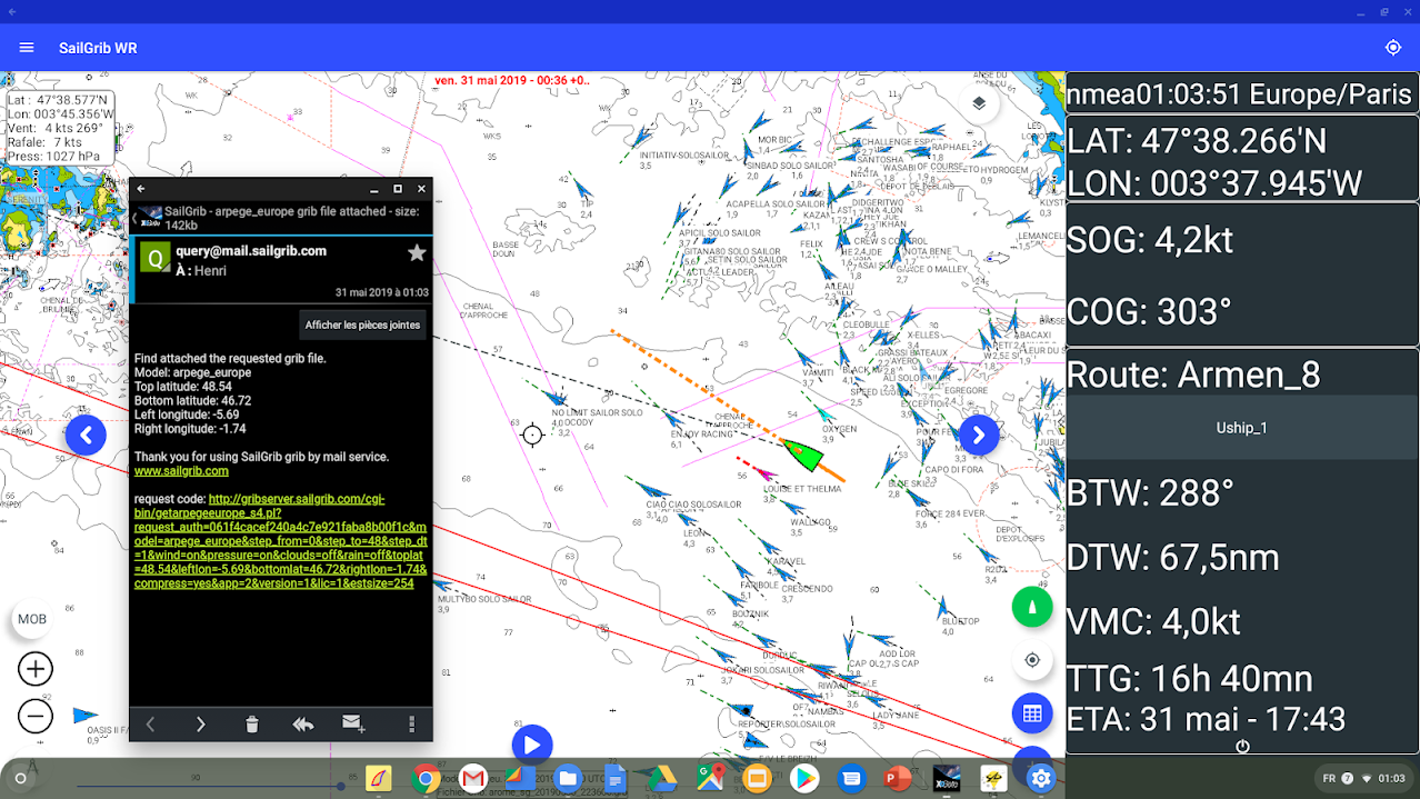
All targets received with Sailgrib by the ship (in the center) are broadcasted on the AISHub network
Navigational data sharing
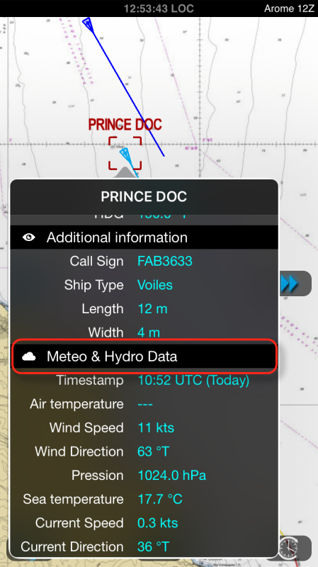
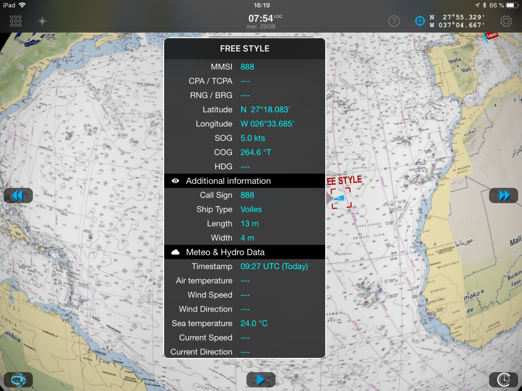
 In addition to the AIS sharing, applications can share their navigation data. The ship's real-time atmospheric data : Wind speed and direction, pression, air temperature, and hydrological data : Current speed and direction, sea temperature, according to the instruments connected to the application.
If all boaters provided with SailGrib or Weather4D enable data sharing all along their cruise, this will create an interesting grid to compare the actual data recorded with weather and ocean forecasts. We can even consider adding instant calculation of wave height and period, Using internal sensors, For example the accelerometer 3 axes combined with the atmospheric pressure sensor of the iPad.
Thus pleasure boats become, actually, weather stations sending real-time data from their respective positions. This may interest, furthermore boaters themselves, rallies organizers, boat owners associations, of the club, and even, why not, Weather Services.

Sending location and shared data during a Weather4D access to servers for a GRIB download with an Iridium GO!
Private sharing on a dedicated "cloud"
From the record of course data, track, Météo and Hydro, a dedicated website is being developed so that boaters can collect in private accounts their data, Formatting on specific pages (track graphics, logbook, pictures, texts, etc) that they can share with their loved ones securely.
At a time when social networks have become the communication standard, SailGrib and Weather4D join forces to create a true nautical network to serve their users, Thanks to the voluntary sharing of their data - sharing which remains absolutely optional - while increasing general security. An initiative that should be welcomed.
–––
(¹) Available in Weather4D all versions, Soon in Sailgrib.
–––

