
In his latest newsletter dated 14 th January, SailGrib explains the improvements in weather display by overlaying satellite imagery and isobaric maps, called “frontology”.

Download and display satellite images in SailGrib WR
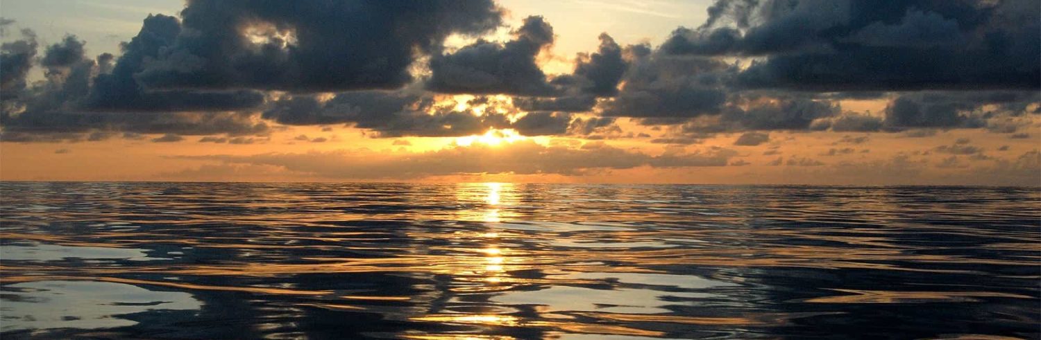
Satellite images used in conjunction with grib files and weather charts can help to better understand weather phenomena. From now, directly in SailGrib WR, you can easily load and display satellite images we prepare on our servers. We produce and distribute 4 types of images :

Thermal infrared : colored to highlight the clouds with the largest vertical extension and therefore potentially the most active squalls

Visible : to highlight low layer phenomena. Useful only during the day, at night it will be black

Natural color : combination of several channels, they are very legible and can highlight phenomena seen in both the infrared and visible channels. Useful only during the day, at night it will be black.

Precipitation : very similar to radars precipitation .
All images can be overlayed with GRIB files and isobaric maps as shown in the screenshot below :

Satellite Infrared image, isobaric map surface analysis and wind field GFS model.
The following processing is done for each image :
- Projection of the raw image in Web Mercator in order to overlay on charting in the application
- Adding the coastline, a latitude/longitude grid for greater readability
- colorization of the infrared images to highlight the clouds with the greatest vertical extent and therefore potentially the most active squalls.
- High compression rate to obtain images that can be downloaded with Iridium GO!®.
In order to better understand the evolution of the situation, we also produce an animation of the last 12 hours. Here, in example, is an animation of the Atlantic Doldrums area in the infrared channel :

Interface Iridium GO!®
The app now interfaces directly with the Iridium Go!®. It only attempts to connect if the signal from the Iridium GO!® is sufficiently strong and manages the resumption of downloads in the event of an interruption. Thanks to this, it is now possible to download files of size of around 250 KB in 25 up to 30 minutes. The interface can handle the loading of grib files, isobaric maps and satellite images.
Main other new features
- Display of the model update times in the GRIB request screen,
- SailChart : easily find the right sail to use in navigation and routing,
- Import of routes GPX files.
Improvements that show the desire to better help the understanding of weather phenomena, and thus increase navigation security for users of the application.
–––