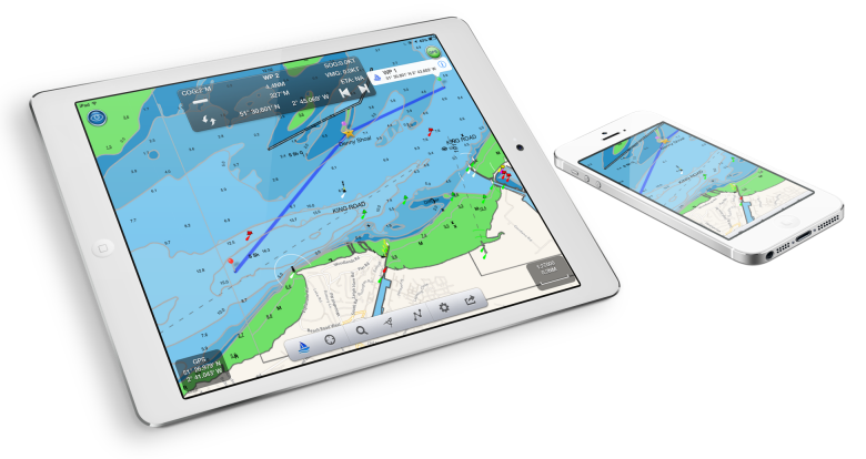
English society Digital Yacht just announced on his blog the imminent arrival of its application NavLink, present for some time on Apple devices under iOS. I give you the translation here :
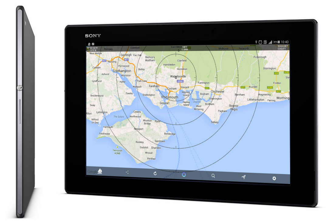
We're just in the final stages of testing our new NavLink app for Android devices and thought we could give you a taste of it. This app supports real-time display of AIS data from all of our NMEA wireless products and plots AIS targets on a Google Map.
Outside the 3G range and no longer on the Internet , cached copies of Google Maps will still be displayed or the application will display AIS targets on a simple “radar” type screen with the boat displayed in the center of a series of circles.
The App provides comprehensive AIS functionality, including CPA and TCPA alarms. See our previous post on these AIS functions.
During our tests, we had the opportunity to try the new Sony Xperia Z2 tablet (there is also a smartphone version) which Sony describes as the world's thinnest and lightest waterproof tablet. We were all very impressed with this tablet which has special waterproof caps for the various connectors and expansion slots.
We will always remain careful when using it in the cockpit of a “particularly wet” boat so as not to let it splash around in stagnant water., but the Xperia Z2 should be able to survive an accidental splash or be used in rain and sea spray.
Screen size, battery longevity, the weight and build quality were very good and we recommend this 10" Quad Core Android tablet.
With testing almost complete, we are confident that our new NavLink Android App will be available on the Play Store next month.
The arrival of a European application on Android should be beneficial to French browsers equipped with these devices, because in addition to the vector maps of the British Admiralty, NavLink recently offers French cartography (SHOM), German and Dutch. There is no doubt that the portfolio will expand in the future.
—


