Currents and waves at hectometric resolution from Ifremer (Episode 1)

Episode 1 – Description

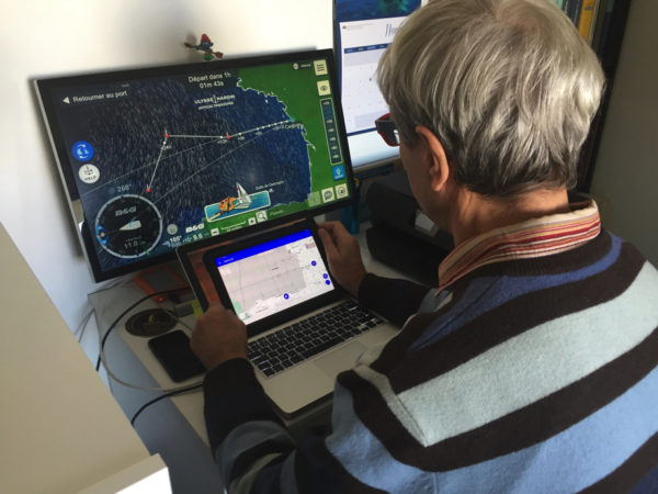
Since May the 7 th 2024 the latest versions of SailGrib have been enriched with several new weather and ocean models (¹). Among the latter, ultra-high resolution current and wave forecast models from the’Ifremer complete the models Copernicus (formerly called MyOcean) for the Channel and Atlantic coasts. These forecasts are provided with hectometric grids, can be reduced up to 190 meters for some models. But Ifremer, what is ? Read more …

SailGrib renews its GRIB model offering

The latest version of SailGrib WR arrives with a completely revised list of weather and ocean models in order to allow users to benefit from the evolution of the offer of international forecast models. The number of models offered increases with new models and the addition of new resolutions available for certain models). Some models evolve and others are added. The version beta is already online. Read more …

You said “Medicane” ?

The numerous sailors who crisscross the “Big Blue” have known for ages that, if navigation is relatively easy, meteorology represents a particularly difficult constraint to understand. Indeed, if the coasts are mostly steep and the dangers very localized, if the tides are almost negligible, if currents are only to be taken into account in well-defined areas, the major difficulty comes from capricious weather, difficult to predict, can represent a real danger due to its changing moods, sudden, even brutal. Read more …

Introduction to Marine Weather [2021]

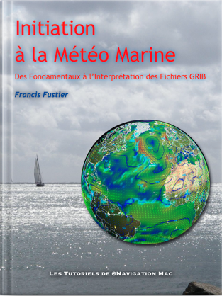
The new tutorial « Introduction to Marine Weather » is available on Amazon Store for e-reader and cross-platform applications Kindle.

Complete revision of the work initially published in 2015, new, clearer and more readable layout in portrait mode, complete revision of the text, updating videos and illustrations.

From basic knowledge to interpreting GRIB files, an educational journey to help you better understand the weather, the one he will do, and master weather-routing and navigation applications, like SailGrib, Weather4D, and many others.

  • 130 pages
  • 15 videos
  • 100 illustrations

This work replaces the previous one deleted.

[Update 10 th 2021] Update V.1.3 online on Amazon.fr. Video correction and links.
Routing : from game to reality

On the second day of racing of this Vendée Globe 2020, we can say that the weather conditions that the skippers will experience on the descent towards the Doldrums will be particularly tough. After leaving in lousy weather, a first not very active cold front passed without incident, the loners will cross a second, much more violent front during the night and morning from Tuesday to Wednesday, for the group going to the West, and in the evening for the group passed between the DST (¹) and la in French.

But these future conditions are very different for Virtual Regatta players and for sailors… Read more …

Android Marine sets sail for the Vendée Globe 2020

Oh yes, everything happens ! In my entire computer-nautical career I had never played any computer game whatsoever., not even the historic Windows card game that cost businesses thousands of idle office hours… but you should never say : Never !

Or donc, here I am registered for Virtual Regatta, one among the most 340.000 players registered at this time, ready to start the Vendée Globe tomorrow at 1:02 p.m.. Like any beginner, I watched a few videos to quickly understand this game, Who, we are all, seems relatively simple for an experienced sailor. But from there to playing in the big leagues, there are still several oceans to cross !

Read more …

ECMWF weather data soon to be open to public [2th part]

Source : The Parliament Mag par Umberto Modigliani, ECMWF Deputy Director of Forecasts, responsible, with the department director, continuous production of forecasts and relations with users.

Early October, the European Center for Medium-Range Weather Forecasts (CEPMMT) will take a big step forward by making hundreds of its forecast maps available to everyone free of charge.
These changes are part of a broader European initiative to make public sector data free and open, encourage innovation and support a thriving, data-driven digital economy.

So far, full access to these forecast maps was restricted to national meteorological and hydrological services of ECMWF Member States and Cooperating States, to members of the World Meteorological Organization and commercial customers. Access was subject to a series of personalized licenses and high fees. Read more …